3D Data for Micro-cellular Network Planning
3D Data for Micro-cellular Network Planning
Three-dimensional spatial data enabling precise planning, optimization, and deployment of micro-cellular wireless networks, improving coverage, capacity, interference management, and performance in dense urban environments.
Business Need :
Urbanization in different cities is also leading to growth of high rise buildings. High rise buildings are very important from Telecom planning point of view, both in terms of knowing the hindrance to the radio-waves and also because of the fact that they have people as inhabitant who are mobile users.
Telecom industry is growing rapidly in all parts of the world.With the advent of 3G and 4G technology, now there is a challenge to enable very high speed data flow, which includes not only voice but also video.
Simulation models of scenario of the city could help RF and Micro-cellular network planners. It is therefore needed to create
- Create Digital Terrain Model of the city
- 3D Data on buildings of city
- 3D Vegetation of the city
- 3D Vegetation of the city Create Road vector layer and classify them based on their width
Area Covered:
Data was created for the following three cities-
- i) Auckland
- ii) Dunedin
- iii) Wellington
Inputs Used:
- i) High Resolution Satellite Stereo-pair
- ii) DGPS points for Ground Control
Business Solution:
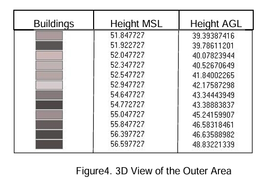
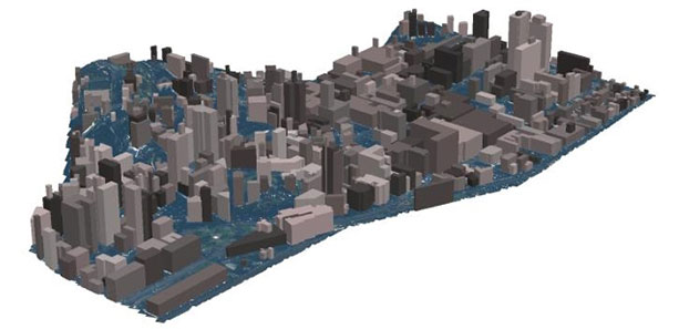
Post Aerial Triangulation, stereo-compilation of each building was done to create 3D polygon for each building. Each building having minimum area of 50 sq. m was compiled in stereo. Adjacent buildings having vertical height difference of more than 1m were represented as separate polygons.
Super-structures on each building were also captured. GIS data of each building having ‘Absolute Height’ and “Height above Mean Sea Level” was created for each building.
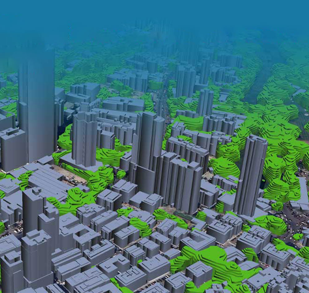
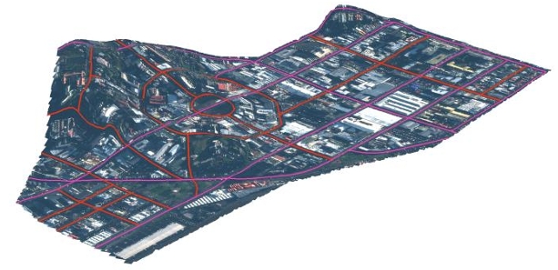
Auto-correlation of Stereo-pairs was done to create Digital Surface Model, representing terrain, buildings, vegetation and other natural and man-made features. Auto-correlated elevation points were edited in 3D environment to segregate terrain from vegetation and building data. Digital Terrain Model representing the terrain features were created after manual editing in 3D environment. Vegetation polygons were also capture in 3D environment. Roads were captured on Ortho rectified satellite image and categorized based on their width.
Project Shipment:
The following shipments were made-
- i) 3D building shape file containing
- a) Absolute Height of each building
- b) Height of building above MSL
- ii) Vegetation shape file containing absolute height
- iii) Roads classified based on their width