Analytical & Modeling
Excel Geomatics provides advanced Analytical & Modeling services that transform geospatial data into actionable intelligence. Our analytical frameworks and predictive models help organizations understand patterns, assess risks, and simulate real-world scenarios for better planning and decision-making.
By combining satellite imagery, GIS, and data science techniques, we deliver accurate models that support strategic and operational goals.
Our Analytical & Modeling Capabilities
- Spatial Data Analysis: Advanced GIS-based analysis to identify trends, relationships, and anomalies within geospatial datasets for informed decision-making..
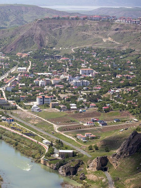
- Predictive & Scenario Modeling : Development of models to simulate future outcomes such as urban growth, infrastructure expansion, environmental impact, and disaster risk scenarios.
- Terrain & Hydrological Modeling : Elevation-based modeling for watershed analysis, flood risk assessment, drainage planning, and slope stability evaluation.
- Environmental & Impact Analysis: Modeling and assessment of environmental parameters including land-use change, vegetation dynamics, and ecological impact studies.
- Network & Accessibility Modeling Analysis of transportation networks, utilities, and service accessibility to optimize planning and resource allocation.
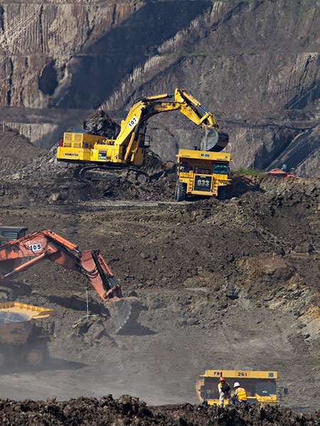
- Risk & Vulnerability Assessment : Spatial risk modeling to identify high-risk zones and support mitigation planning for natural and man-made hazards.