Engineering Services
Excel Geomatics delivers comprehensive Engineering Services that support planning, design, execution, and monitoring of infrastructure and development projects. By integrating engineering expertise with advanced geospatial technologies, we provide accurate, reliable, and cost-effective solutions for complex engineering challenges.
Our services help clients improve project efficiency, reduce risks, and make informed decisions throughout the project lifecycle.
Our Engineering Capabilities
- Surveying & Mapping Services: High-precision topographical, cadastral, and engineering surveys using advanced instruments and satellite data to support design and construction activities.
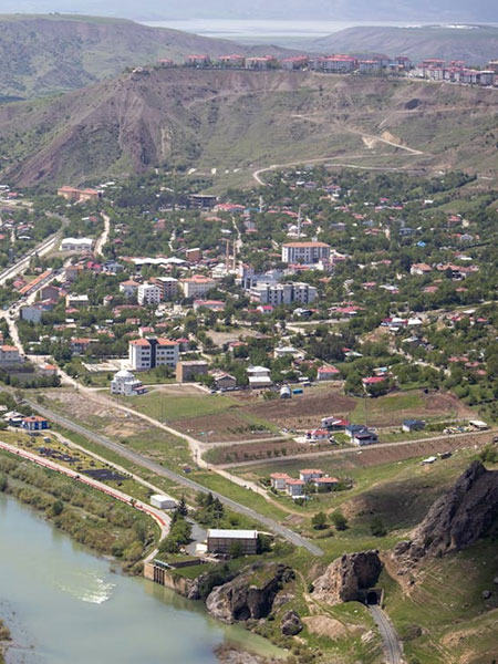
- Infrastructure Planning & Design Support : Geospatial analysis and engineering inputs for roads, railways, bridges, utilities, and urban infrastructure projects.
- Digital Terrain & Surface Modeling (DTM/DSM) : Creation of accurate terrain models for volume calculations, drainage planning, slope analysis, and feasibility studies.
- GIS-Based Engineering Solutions: Development of GIS platforms for asset management, utility mapping, network analysis, and infrastructure monitoring.
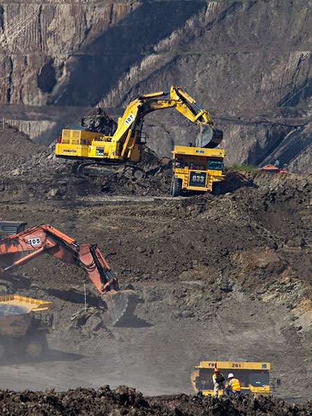
- Project Monitoring & Progress Analysis: Use of satellite imagery and spatial analytics to track construction progress, detect deviations, and support timely project execution.
- As-Built Documentation & Data Management : Preparation of accurate as-built drawings and digital records for long-term asset management and compliance.