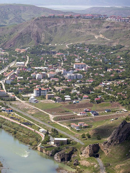
Topographical Surveys
Excel Geomatics provides high-accuracy Topographical Survey services to capture detailed information about natural and man-made features of the land. Our surveys deliver precise elevation data, contours, and surface features essential for planning, design, and engineering applications.
Using advanced surveying instruments and geospatial technologies, we ensure reliable data for informed decision-making across infrastructure and development projects.
Our Topographical Survey Services
- Detailed Terrain Mapping : Accurate mapping of land features including contours, elevations, slopes, water bodies, roads, and structures.
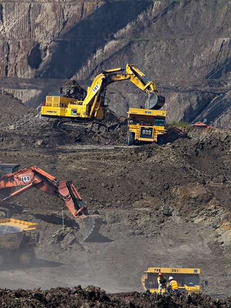
- Engineering & Construction Surveys : Topographical data to support project planning, alignment design, earthwork estimation, and site development.
- Contour & Elevation Mapping : Generation of contour maps and elevation models for drainage planning, volume calculations, and feasibility studies.
- Digital Terrain Models (DTM) : Setup, management, and optimization of cloud-based and on-premise IT infrastructure for high availability and performance.
- Data Management & Database Solutions Structured data storage, management, and optimization solutions for handling large and complex datasets.
- IT Maintenance & Technical Support : Creation of high-resolution DTMs for engineering analysis, hydrological studies, and infrastructure design.
- Urban & Rural Land Surveys : Comprehensive surveys for urban development, land parcels, and rural infrastructure projects.
- As-Built & Site Condition Surveys : Accurate documentation of existing site conditions for project validation and compliance.