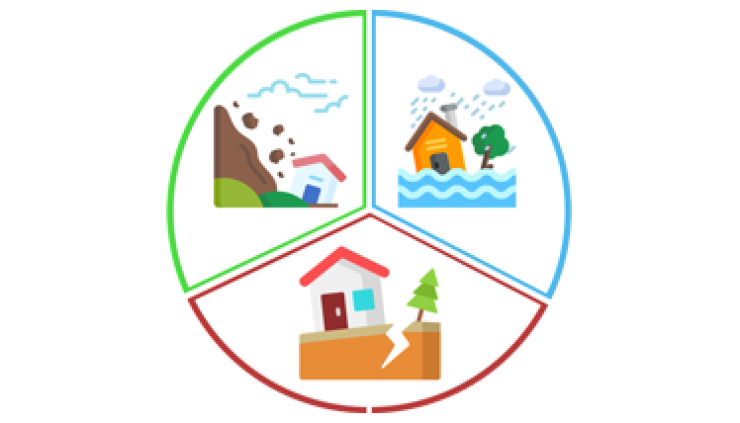
Disaster Management
·
Hazard Zonation
·
Data Creation
·
Modelling Services
·
Implementation of
Geographical information system (GIS) & Remote Sensing
·
Drone Data Acquisition
with topographical survey
·
Preparation of base
map of individual District/City covering entire AMC municipal area.
·
Creation of
Resources/Road Maps
·
Identifying Hazards
·
Vulnerability Analysis
·
Calculating Risk
·
Assessment of
Community Vulnerability
·
Mitigation and
Protection
·
Prevention Programmers
·
Response and Recovery
·
Logistics Details
·
Creation of network
infrastructure including sub-surface and surface assets for fire services.
·
Development and
deployment of web-Enabled GIS based enterprises geo database system.
·
Spatial facility
management
·
Training of key users
and other stakeholders


