Excel
Geomatics along with its partners, provide following services-
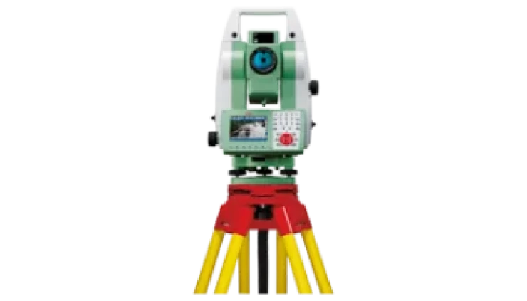
Geological and Topographical Survey
Excel
Geomatics also carry out Surveys for collection of Geological data and
validation of different maps created in-house.
Topographical
Survey is also performed using Total Station and DGPS. Excel Geomatics
also has the access to Dual Frequency DGPS.
LiDAR Survey
Excel
Geomatics, along with its partners provide terrestrial LiDAR (Light
Detection and Ranging) Survey data. Using LiDAR, it is possible to get
information even beneath tree cover.
Precise
mapping of surface geological features like faults, fractures etc, is
possible even in partially obscured area using LiDAR Survey.
It
is possible to create high precision Digital Terrain Model using LiDAR data.
Aerial Survey
- Excel
Geomatics, along with its partners provide facility for Aerial Data
acquisition.
- We
along with our partners, provide a complete range of services starting
froma.
- Project
Planning and Estimation
- Clearances
from DGCA
- Arrangement
of Aircraft modified for Aerial Data Acquisition
- Arrangement
of Camera/Sensor for Aerial Image/LiDAR data acquisition
- Pre-processing
of Aerial data
- Post processing of Aerial data


